
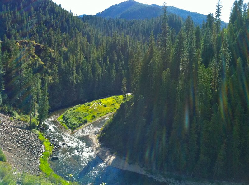
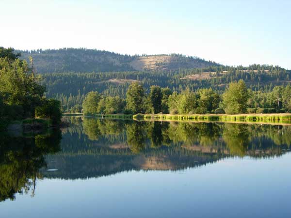
St. Joe River, ID
Your Agent

Rob Goucher
Phone: 208-929-0413 Email: rob@21waterfront.comSaint Joe River (sometimes abbreviated St. Joe River) is a 140-mile (225 km) long tributary of Coeur d'Alene Lake in northern Idaho. Beginning at an elevation of 6,487 feet (1,977 m) in the Northern Bitterroot Range of eastern Shoshone County, it flows generally west through the Saint Joe River Valley and the communities of Avery and Calder. Past Calder, it flows into Benewah County and through the town of St. Maries, where it receives its largest tributary, the Saint Maries River. It then turns northwest, passing through Heyburn State Park before reaching its mouth just north of the Kootenai County line Much of the river's route through Heyburn State Park is partially flooded due to raised water levels from the Washington Water Power dam at Post Falls on the Spokane River below Coeur d'Alene Lake. With a mouth elevation of 2,129 feet (648.9 m), it is the highest navigable river in the world.
CENTURY 21 Waterfront Listings
No Century 21 Agent MLS Listings at this time.
